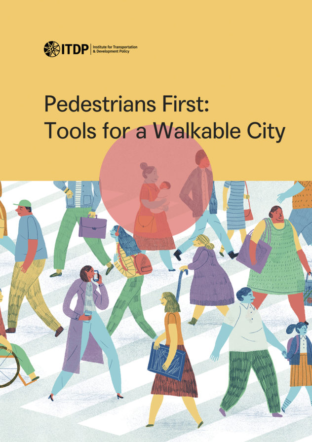
Pedestrians First: Tools for a Walkable City
ITDP’s new Atlas of Sustainable City Transport has replaced the ‘View City Measurements’ tool in Pedestrians First. The Atlas includes all the data found in ‘View City Measurements’, but it’s easier to use, more detailed, and the data is up-to-date. The Atlas also includes even more data, including measurements of public transport and bicycle infrastructure. The other tools in Pedestrians First are still available to use for planning (‘Measure Inclusive Transit’, ‘Examine a Neighborhood’, and ‘Visit a Street’). Learn more about the Atlas and related resources here.
Pedestrians First is a set of interactive tools that measure walkability in cities around the world. Walkability is complex and can be understood in many ways. This online tool features a hierarchy of needs that support walking and a description of the infrastructure, activity, and priority needed for walkability.
Although these frameworks can be used independently to understand walkability, they are most helpful when they are used together. Walkable cities do not happen by accident. Cities only become walkable if they are planned and designed with walkability in mind. In order to build walkable cities, governments must understand what makes cities walkable and then use that knowledge to set explicit goals about walkability.


