January 27, 2020
Buenos Aires: 1985 and Today
On the Anniversary of ITDP’s 35th Year, Transport Matters will be publishing a series of articles about cities that ITDP has worked in, comparing them from 1985 and today. The article in full can be found in the Sustainable Transport Magazine.
35 years ago, Buenos Aires, along with the surrounding country, was reeling in the aftermath of the military junta’s “dirty war” until Raúl Alfonsín was democratically elected in 1983. Since then, Argentina has become a proud and stable nation, with nonviolent changes of power. Buenos Aires, the country’s capital and largest city, is a beautiful, multicultural metropolis of 3 million people. It has not only kept up with transport but is considered a best practice in the region.
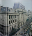
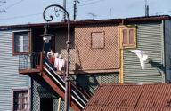
Buenos Aires Before
Click below photos to enlarge
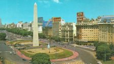
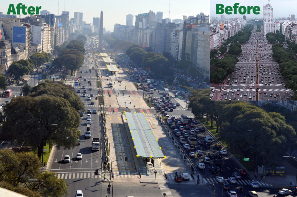
In 2010, Buenos Aires became one of the first cities to invest in a bike share program, EcoBici. The service is free to both city residents and tourists and is available 24 hours a day. This program and a large network of protected bike lanes have spurred a resurgence of cycling throughout the city. In 2013, the city redesigned Avenida 9 de Julio, one of the world’s widest avenues, with 20 lanes for cars, as a complete street. This transformation included a major BRT corridor, as well as bike and pedestrian spaces. As a result, bus travel times have been cut in half and pedestrian safety has improved.
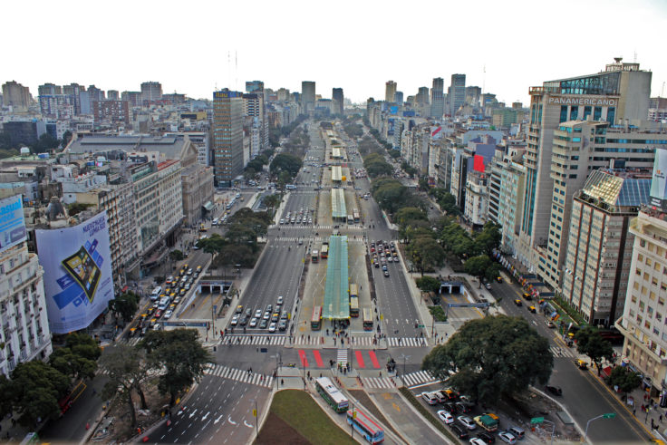
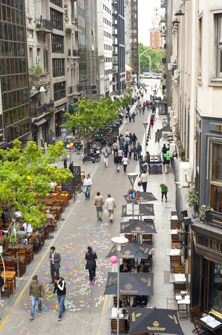
Today in Buenos Aires, public transportation, cycling, and walking are the dominant modes of travel in the city center. Thanks to a major push in 2013, which included the transformation of Avenida 9 de Julio, many of the streets in the historic “microcentro” are accessible by walking, cycling, or bus. Today, 80 percent of this area is car free and contains “macromanzanas,” super-blocks with pedestrian priority and limited car traffic. Buenos Aires has kept its public transportation relative to population growth. However, while the Buenos Aires population is better served than it was 35 years ago, there is still a lot of room for improvement, particularly in suburban areas where long car commutes are common.
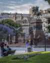
Buenos Aires Today
Click below photos to enlarge
Buenos Aires in Numbers
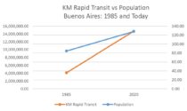
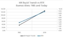
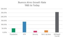
To better understand some of the changes undergone in Buenos Aires, various metrics were employed and studied, comparing the city in 1985 to what it is today. Urban population, here calculated as urban and surrounding territories, increased from 9.6 in 1985 to 14.6 in 2018 (most recent available data). Kilometers in rapid transit is defined as rapid transit that meets the definition of BRT basics in the BRT Standard increased from 35.9 to 128.8. Rapid Transit to Resident Ratio (RTR) is a metric that compares a city’s urban population with the length of its rapid transit lines. RTR can be used to indicate how well the urban population is served by rapid transit. In Buenos Aires RTR increased from 3.73 in 1985 to 8.8 today.

