May 03, 2019
No Cars Needed When Visiting Minneapolis
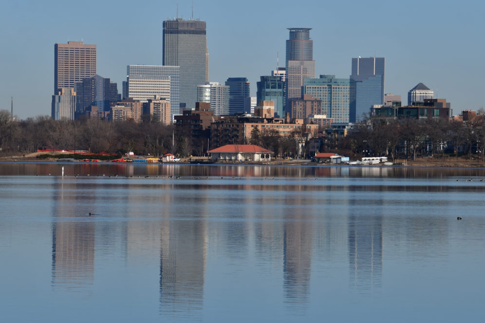
With a variety of different public transport modes available, including bus, bikeshare, and the light rail, cars are not necessary for a nice week spent exploring different Minneapolis neighborhoods – which is more than can be said for the majority of American cities.
New York, San Francisco, Los Angeles, and Chicago are what many people think of as American cities, yet these cities, do not fully represent the typical American city. Minneapolis is more similar to the average American city in terms of size, scale, and organization. A population of 400,000 in the city proper, and three million in the greater region of the Twin Cities, Minneapolis is also in the Midwest, a region in the middle of the country considered a foil to the coastal cities that tend to dominate culture and media.
Minneapolis: A Difference from the Rest of the Midwest
Minneapolis, Minnesota; a place known for Paul Bunyan, Prince, “Minnesota Nice”, and innovative culinary creations using tater tots, can add another moniker to the list: home to great public transit. While Minneapolis resembles many Midwestern cities in its demographic population, municipal budget, tax base, density, opportunities, and drawbacks – it has distinguished itself from many of its peers in one major area. In the 21st century when so many cities in America are completely reliant on personal vehicles for transportation, Minneapolis is uniquely not fully car dependent. Throughout the US, most populations rely heavily, if not entirely, on personal vehicles to move around. Most US cities have poor or nonexistent infrastructure making it impossible to go anywhere without a vehicle. Minneapolis can serve as a case study for cities looking to implement infrastructure changes to create a welcoming environment for the many non-vehicle dependent people.
Minneapolis is the larger of the Twin Cities, the other being Saint Paul, the capital of the state of Minnesota. Minnesota is in the upper Midwest, sandwiched between North and South Dakota, Canada, Wisconsin, and Iowa. It is known for its flat prairies and called the Land of 10,000 lakes because of the many lakes throughout the region. It has famously long and brutal winters and before French fur traders and later Scandinavian settlers moved in, it was home to many Native American tribes such as the Sioux, Dakota, and Ojibwe people. Minneapolis is culturally significant in the region for having a robust arts and LGBTQIA communities and is considered a “blue dot” or politically progressive state in an otherwise conservative geographical region. The population of the greater Twin Cities area, over 3 million people, is over 60% of the state population.
A Home for Public Transit
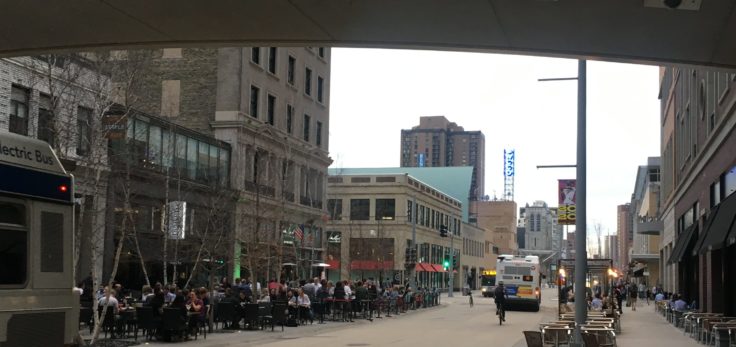
In ITDP’s Indicators for Sustainable Mobility, Minneapolis stood out in having a large portion, 24%, of its commuters use public transit or walk or cycle daily. It stood out for having frequent transit close to both its population and places of work. For instance, 73% of the population, 89% of all jobs, and 84% of low income households are within a 500 meter walk or a 10-minute bike ride to frequent transit. Minneapolis ranked before New York City and Washington DC in access to jobs within 30 minute using sustainable transit. These revelations probably seem obvious to the almost 400,000 people who live in Minneapolis and luckily, some ITDP staff had the opportunity to travel to Minneapolis for a communications conference. While there, we were able to use the celebrated transit. To our delight, Minneapolis proved itself impressive in scale and accessibility.
Accessibility
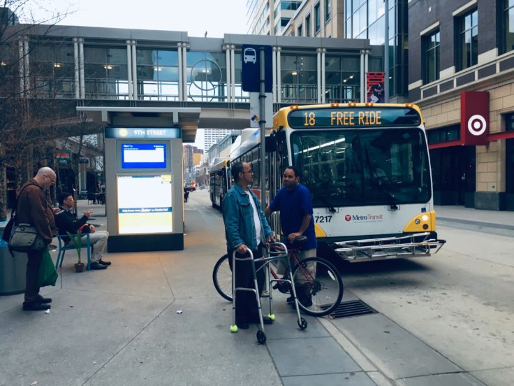
One of the most striking parts of Minneapolis is how accessible it is. Each train station in the Light Rail is fully wheelchair accessible with at-street boarding for all cars. Each train car is fitted with spacious areas dedicated for wheelchairs with disabled and elderly seating clearly demarcated and accessible. The bus system in the city is wheelchair accessible and there is a program called Metro Mobility which provides scheduled rides to people with disabilities. Furthermore, in the city of Minneapolis, the sidewalks are fitted with ramped curbs allowing for wheelchair access and each crosswalk includes a wheelchair level button for crossing that also makes a loud noise when crossing, to accommodate the visually impaired.
Throughout the city accommodations for people with differing levels of vision and walking are ever present. Despite inclement weather particularly during the winter, potholes are hard to spot along the wide sidewalks and flat streets.
Light Rail
Minneapolis’ light rail was opened in 2004 as the Hiawatha Line, now called the Blue Line and extends over 19 kilometers from Target Field, home of the Minnesota Twins baseball team, to the Mall of America, passing through Minneapolis’ International Airport. This line runs every ten minutes between 6am and 9pm during the week, and during off-peak hours it runs every half hour. The train does not run from 12:30 to 3am. A second line, called the Green Line, opened in 2014, is 18 kilometers long, and operates 24 hours a day. The Green Line connects Target Field in Minneapolis with St. Paul, the state’s capital and runs through the University of Minnesota. A trip from one city to the other takes 40 minutes.
The city is planning an expansion of the Green Line into neighboring suburbs of St. Louis Park, Hopkins, Minnetonka, and Eden Prairie. The planned extension, which includes 16 new stops, has already prompted real estate development projects building homes closer to planned rapid transit.
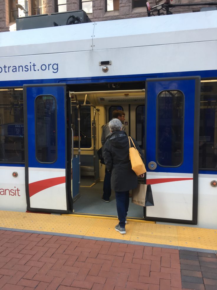
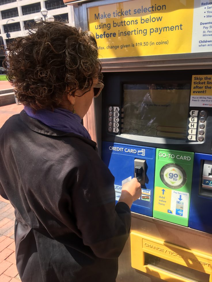
Image 1: Thanks to its frequency and reliability, the Green Line Light Rail is popular among people in the Minneapolis metro area.
Image 2: We found the process of buying Light Rail tickets (that transferred to the bus) very easy.
Cycling
In February 2019, it was reported that both light rail lines had their highest ever ridership in 2018, with over 80 million rides taken by a diverse group of riders. One aspect of the Light Rail that we noticed was how quiet and clean it was, compared to many major cities’ trains and rail lines, the Light Rail stood out in its modern features.
Throughout Minneapolis bicycle paths can be seen but many are not protected. Minneapolis boasts a total of over 200 miles of bike trails, over half of which are on-street bikeways and less than half are off-street bikeways. The off-street paths are often built adjacently or close to parks and lakes, making them very scenic. Some are repurposed land. The Greenway, an almost 9 meter long bike and walking path, was inaugurated in 2000 along a former railroad corridor in the south of the city. This pathway is plowed to be accessible during the winter, is open 24 hours a day, and it lit for safe passage at night. Minneapolis is a city built around many lakes, almost all of which are connected by the Chain of Lakes, a path encircling five of the largest lakes in a 24-km route. There are East and West River Parkways, stretching along the Mississippi River (which begins in Minnesota), and along other parks within the Twin Cities. The topography of the region, mainly flat, helps in creating easy paths but the city’s dedication to maintaining these paths is impressive and explains why there is such a high cycling usage. Minneapolis also has a NiceRide, a bike sharing program with over 3,000 bikes available, and a new mobile application that just allowed for dockless bike sharing.
Bus System

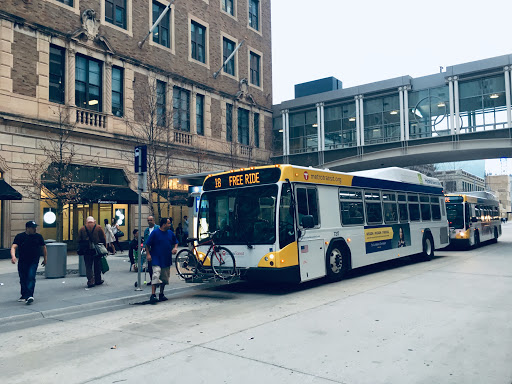
Minneapolis has a bus system that includes high frequency, rapid, commuter, and local bus lines allowing passengers’ needs to be accommodated. 14 Routes are considered High Frequency meaning they stop less than every 15 minutes throughout the week and on Saturdays. Many of the bus lines converge at transit centers equipped with bicycle storage and are climate controlled to protect passengers during the winter. There are also Park & Ride lots near many bus and light rail stations, providing access to transit to passengers who might live farther from some stations.
The Skyway

Perhaps one of the most ingenious, and upon reflection, obvious features of Minneapolis’ urban environment is its system of elevated and protected pedestrian tunnels. Called “the Skyway” Minneapolis has a contiguous system of second level bridges, covering 15 km of pathways over 80 city blocks. These walkways are climate controlled, so would seem an important feature to daily life during Minnesota’s famously long, cold, and brutal winters. A brief history of the Skyway. It was opened in 1962 to connect two large office buildings and quickly gained popularity. It was not created to provide easy passage during winter but rather to reroute pedestrians from crowded sidewalks, provide more room for cars, and give building owners an opportunity to increase rent and property value by having a second level of retail space. The skyway system is interesting in that while it is used by the public, the tunnels themselves remain privately owned, and maintained, by the buildings they connect. While there are hours of operation for the Skyway, morning to night during the week but fewer hours on the weekend, they are not uniform as they are ultimately determined by the building owners. This lack of coherent construction and design also makes the Skyway difficult to navigate. When we tried to get from a WeWork where we had met to our hotel one evening, we had to backtrack multiple times due to poor signage and confusing markers.
Other Policies
Minneapolis enforces road pricing during peak hours. With a MnPASS, drivers are able to pass for free in dedicated express lanes which are also designated to buses, motorcycles, cars transporting two or more occupants, or MnPASS holders. These lanes are open during off peak times, with clear signage. The enforcement of High Occupancy Toll lanes has been successful in decreasing traffic and traffic fatalities.
A City for People
Minneapolis stands out in many regards – its residents are very friendly and willing to help, its restaurants and bars are diverse and interesting. Mostly, getting around is just so easy. It was fast and efficient to take the Light Rail from the Airport to the Hotel and getting around town was straightforward and pleasant. No cars were necessary for a nice week spent exploring different neighborhoods – which is more than can be said for the majority of American cities. The time spent in Minneapolis allowed us to unofficially explore some of the city’s diverse set of restaurants and use the many modes of transportation (we took the bus, took the light rail, walked on sidewalks and in the Skyway, and biked). Minneapolis is worth a return trip – not just for the quiet and clean train cars, but also for the friendly people and delicious (and often) fried food.
